

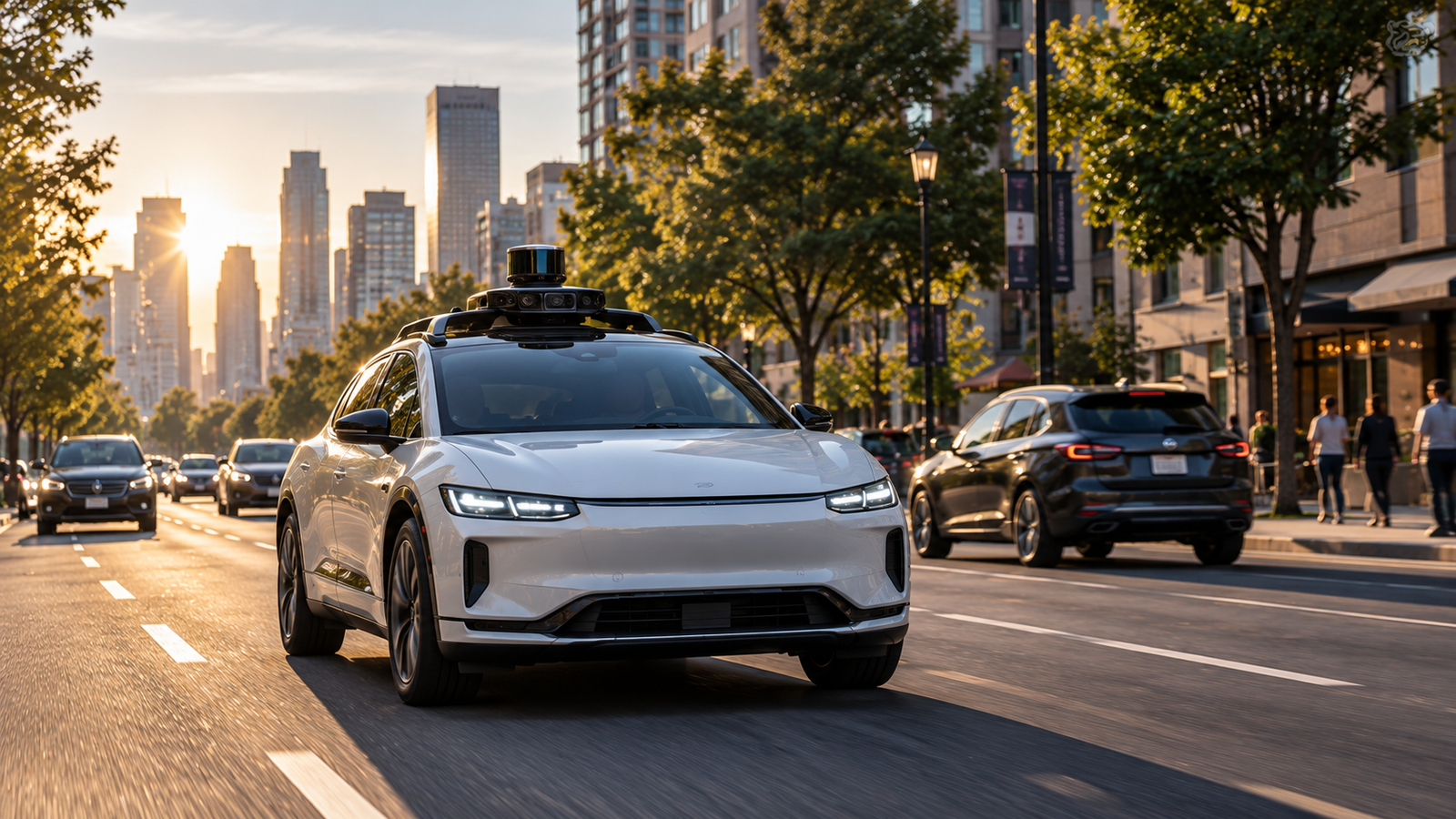
Imagine sitting inside a car with no one behind the steering wheel.
The road stretches ahead. An intersection is approaching. A pedestrian stands near a crosswalk. Another vehicle changes lanes, while a traffic light turns yellow.
A human driver can look at these events, understand what is happening, predict what might happen next, and respond.
A driverless vehicle has to perform the same basic task through technology.
It needs to sense its surroundings, understand what it is detecting, determine where it is, predict how nearby road users may behave, choose an appropriate path, and control the vehicle.
The basic process can be reduced to five stages:
Sense
Understand
Predict
Plan
Act
The vehicle repeats this process continuously as the environment changes.
A driverless car does not simply “think like a human.” It transforms measurements from sensors into decisions through a complex engineering system.
Driverless Does Not Mean Every Vehicle Is Fully Autonomous
Automated driving exists on a spectrum.
Some systems assist a human driver with tasks such as steering, braking, or maintaining speed. Other systems can perform more of the driving task under specific conditions.
A fully autonomous system would need to perform the driving task without depending on a human driver within its defined operating conditions.
This distinction matters because a system that assists a human is fundamentally different from a system designed to operate without human supervision.
The phrase “self-driving” is often used broadly, but the actual capability of an automated vehicle depends on what it can do, where it can operate, and under what conditions.
How a Driverless Car Sees the Road
The first challenge is perception. A vehicle needs information about its surroundings before it can make useful driving decisions. Cameras are one important source of that information.
Autonomous vehicles can use multiple cameras positioned around the vehicle. They can observe the road ahead, adjacent areas, and the space behind the vehicle.
A camera captures light and converts it into digital image data. The computer then processes those images using computer vision.
Computer vision can help identify patterns associated with road markings, vehicles, pedestrians, traffic signs, traffic lights, bicycles, motorcycles, buildings, and road boundaries.
The camera itself does not understand what it is seeing. It provides measurements in the form of image data. Software extracts useful information from those measurements.
How Does the Car Recognize a Pedestrian?
Imagine a camera detects a person standing near the road. The computer receives numerical information representing the pixels in the image. A trained model can process those patterns and estimate that part of the image contains a pedestrian.
The system can estimate the person’s location and track that person across multiple frames. It can also estimate how the person is moving.
The same process can be applied to another vehicle. The system can detect the vehicle, observe its position over time, and estimate its speed and direction.
This creates two important questions for the autonomous system: What is that object, and where is it going?
The second question matters because driving is a dynamic problem. Recognizing an object is not enough. The vehicle must understand how that object may affect its future path.
How Lidar Adds Depth Information
Lidar stands for Light Detection and Ranging. A lidar system emits laser light and measures how long reflected light takes to return to the sensor. Because light travels at a known speed, the system can estimate the distance to objects.
By collecting many measurements, lidar can create a detailed three-dimensional representation of the surrounding environment. This collection of measurements is commonly called a point cloud.
The measurements can reveal the positions and shapes of vehicles, buildings, road boundaries, poles, pedestrians, and other structures. Lidar therefore provides direct depth information that can complement camera-based perception.
How Radar Helps
Radar uses radio waves rather than visible light.
The system transmits radio-frequency energy and measures the returned signal after it reflects from objects. Radar can estimate distance and can also provide information about relative motion.
Through the Doppler effect, radar systems can estimate the speed of objects moving relative to the sensor.
This can be useful when monitoring vehicles ahead.
Radar also responds differently from cameras to environmental conditions such as darkness, rain, fog, and dust. This does not make radar immune to difficult conditions, but it gives the system another type of measurement.
No single sensor is perfect. That is one reason autonomous vehicles can combine several sensing technologies.
What Ultrasonic Sensors Do
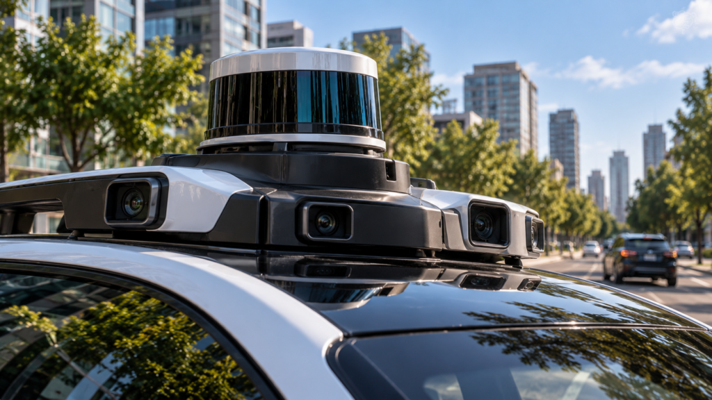
Ultrasonic sensors use sound waves at frequencies above the range of normal human hearing.
They are useful for short-range detection and can help identify nearby obstacles during parking or low-speed maneuvering.
The exact sensor combination varies between vehicle systems. Some vehicles rely heavily on cameras. Some use lidar. Some use radar. Others combine several technologies.
The important principle is sensor diversity. Each sensor provides different information, and combining them can produce a more useful representation of the environment.
Different sensors measure different aspects of the environment, allowing autonomous systems to combine complementary information.
How a Driverless Car Knows Where It Is
A vehicle needs to know its position as well as its surroundings.
Global Navigation Satellite Systems can provide positioning information. GPS is one example of such a system.
But satellite positioning alone is usually not enough for precise autonomous driving. Signals can be blocked, reflected, or degraded, and a vehicle may need much more precise localization than a typical consumer navigation device.
Autonomous systems can therefore combine GNSS with maps, inertial sensors, camera observations, lidar, radar, and information about the vehicle's own motion.
This process is called localization.
Why Detailed Maps Matter
An autonomous vehicle may use highly detailed maps containing information about roads and their geometry.
Maps can include lanes, intersections, road boundaries, traffic controls, and other geographic information.
But the vehicle cannot rely on the map blindly.
Roads change. Construction appears. Lanes close. Temporary obstacles emerge.
The map provides context. Sensors provide current conditions. The vehicle needs both.
How Inertial Sensors Help
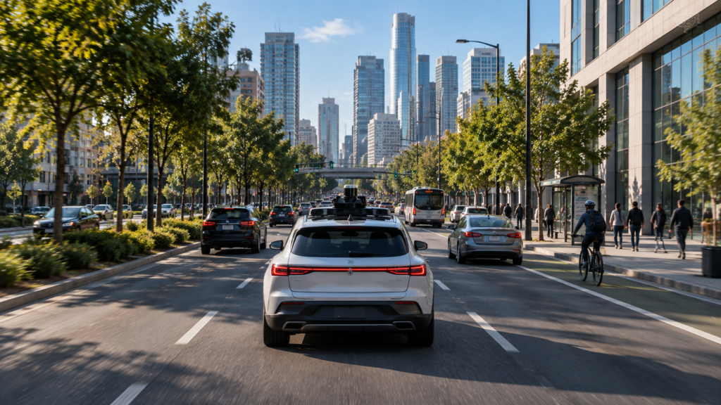
A vehicle can use an inertial measurement unit containing accelerometers and gyroscopes.
Accelerometers measure changes in acceleration. Gyroscopes measure rotational motion. Together, these sensors help estimate how the vehicle is moving.
They can provide useful information when satellite positioning becomes temporarily unreliable.
A tunnel provides a simple example. Satellite signals may become unavailable, but the vehicle still needs to estimate its movement.
No single positioning source is perfect. Combining multiple sources can improve robustness.
Maps provide road context while sensors help determine the vehicle's current position.
Sensor Fusion Creates a More Complete Picture
Sensor fusion is one of the central concepts in autonomous driving.
Imagine a camera detects a vehicle. Radar detects an object at approximately the same location. Lidar measures a three-dimensional structure there.
The system can combine these measurements.
Instead of depending on one sensor, the vehicle builds a more complete representation from several sources.
Cameras provide rich visual information. Lidar provides detailed depth measurements. Radar provides distance and relative-motion information. Ultrasonic sensors provide short-range information. GNSS provides global positioning, while inertial sensors provide information about vehicle movement.
Sensor fusion is therefore not simply about adding more sensors. The system has to combine different measurements intelligently and account for their strengths and limitations.
Building a Model of the Surrounding World
Raw sensor measurements are not enough.
The vehicle needs to transform them into a structured understanding of what is happening around it.
It may identify a road, several lanes, moving vehicles, a parked vehicle, a pedestrian, a traffic light, a bicycle, a curb, and a construction zone.
The system assigns positions and other properties to these elements.
This can be described as building a world model.
The world model changes continuously.
New camera frames arrive. Radar measurements change. Lidar produces new points. Vehicle sensors report changes in speed, acceleration, and steering.
The vehicle therefore cannot analyze one image and stop. It has to continuously update its understanding of the environment.
How a Driverless Car Predicts What Others Will Do
Understanding the present is only part of driving.
The vehicle also needs to estimate what may happen next.
Suppose a pedestrian is standing near a crosswalk. The vehicle needs to estimate whether that person may enter the road.
Suppose another car approaches an intersection. The vehicle needs to estimate whether it may continue straight, turn, or stop.
Prediction is inherently uncertain. The system cannot know the future with certainty. It estimates likely behavior based on current observations and learned patterns.
Machine learning can contribute to this process by learning patterns from large amounts of driving data.
But predictions remain estimates. The vehicle has to account for uncertainty when deciding how to move.
How the Vehicle Chooses What to Do
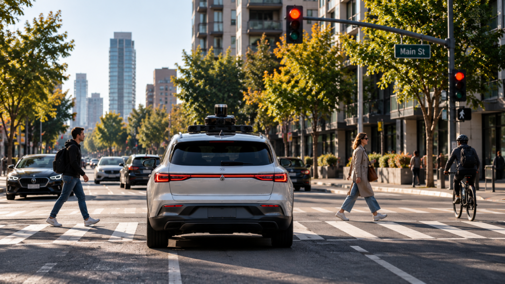
Once the vehicle understands its surroundings and estimates possible future movements, it needs to choose an action.
It might continue straight, slow down, stop, change lanes, turn, move around an obstacle, or wait.
The planning system evaluates possible trajectories.
A trajectory describes how the vehicle could move through space and time. Planning can consider road geometry, traffic rules, other vehicles, pedestrians, vehicle dynamics, safety constraints, and the intended destination.
The system then selects an appropriate path.
Planning determines where the vehicle should go. Control determines how the vehicle follows that path.
Autonomous driving requires the vehicle to estimate possible future movements before choosing a trajectory.
How Steering, Braking, and Acceleration Work
Suppose the vehicle approaches a stopped car.
The perception system detects the obstacle. The prediction system considers what nearby road users may do. The planning system determines that continuing forward could create a collision risk.
It evaluates the available space and may identify a safe path around the obstacle.
The control system then converts the selected trajectory into steering, braking, and acceleration commands.
The vehicle moves. Sensors measure the result.
If the vehicle is not following the desired path accurately, the control system can adjust its commands.
This creates a continuous feedback loop:
Plan.
Act.
Measure.
Correct.
Repeat.
Autonomous driving is therefore a closed-loop control problem.
Why Driverless Cars Need Powerful Computers
Autonomous driving generates enormous amounts of information.
Multiple cameras can continuously produce image data. Lidar can generate large numbers of distance measurements. Radar provides repeated measurements of nearby objects. Vehicle sensors monitor speed, acceleration, steering, and other parameters.
The vehicle has to process this information while it is moving.
The onboard computer may need to run perception models, perform localization, predict other road users, plan trajectories, control the vehicle, and monitor system health.
Some connected services can use remote systems, but critical driving decisions need local capability.
A vehicle cannot safely wait for an internet connection before deciding whether to brake.
Connectivity can provide additional information. It does not replace onboard computing.
Is Autonomous Driving Just Artificial Intelligence?
No.
AI can support several parts of autonomous driving.
Computer vision models can help identify objects. Machine-learning models can help interpret complex scenes. Prediction models can estimate likely behavior.
But autonomous driving is a complete engineering system.
It combines sensors, algorithms, real-time computing, vehicle controls, mechanical components, maps, safety systems, testing, and operational constraints.
AI is an important component. It is not the entire vehicle.
Why Testing Is So Difficult
Machine-learning systems can be trained using large datasets containing images, sensor measurements, driving situations, and labeled examples.
After training, the system can be evaluated using data it has not previously seen.
But the real world contains an enormous number of possible situations.
Rare events are particularly difficult.
A normal road scene may be relatively predictable. An unusual event can challenge the system.
Examples include a fallen object, an unexpectedly moving pedestrian, a damaged traffic sign, a police officer directing traffic, a temporary road closure, a construction worker in an unusual position, or a vehicle moving in an unexpected direction.
These situations are often described as edge cases.
Engineers therefore need extensive testing.
Why Simulation Matters
Simulation allows engineers to create virtual environments containing roads, vehicles, pedestrians, weather conditions, and unusual situations.
A rare scenario can be recreated repeatedly. This allows engineers to evaluate system behavior without physically recreating every situation on public roads.
Simulation does not replace real-world testing because the physical world is too complex to reproduce perfectly.
Controlled test tracks provide another layer of evaluation. Engineers can create repeatable scenarios involving obstacles, emergency braking, lane changes, intersections, different road surfaces, and different lighting conditions.
Testing can then expand to public roads under defined operational conditions.
Why Safety Requires Redundancy
Safety-critical systems often use redundancy.
If one sensor fails, other sensors may continue providing information. Depending on the vehicle architecture, backup computing or control components may provide additional protection when a primary component fails.
The exact redundancy design varies between vehicles.
The principle is important. A critical function should not depend on a single component when failure could create a dangerous situation.
The vehicle can also monitor its own systems. It can check sensors, computers, power supply, communication links, steering systems, and braking systems.
If a critical fault develops, the system can enter a safer operating state or request human intervention depending on its design.
Why Urban Driving Is Difficult
Urban environments contain many interacting elements.
Pedestrians, cyclists, traffic lights, intersections, parked vehicles, construction zones, and complex traffic patterns can all appear within a small area.
Human behavior adds another layer of uncertainty.
A pedestrian may approach the road, stop, turn, or suddenly change direction. A cyclist may change position quickly. Another vehicle may make an unexpected maneuver.
The vehicle has to account for these possibilities while maintaining a safe trajectory.
This is why autonomous driving cannot be reduced to object recognition. The system needs to interpret objects within their surrounding context.
How Weather Affects Autonomous Driving
Environmental conditions can change what sensors can detect.
Rain can reduce visibility and create reflections. Fog can scatter light. Snow can cover road markings. Dust can interfere with sensors. Strong sunlight can create glare.
Different sensors respond differently to these conditions.
Sensor fusion can improve robustness, but it does not make a vehicle immune to difficult weather.
This is one reason autonomous systems operate within defined conditions and capabilities.
What Is an Operational Design Domain?
Autonomous driving systems are designed for particular operating conditions.
These conditions can include road types, geographic areas, weather, speed ranges, traffic conditions, lighting, and other operational constraints.
A system designed for specific conditions should not automatically be assumed to operate equally well everywhere.
The operational design domain defines where and under what conditions the system is designed to function.
This is an important distinction when evaluating claims about autonomous driving.
How Connectivity and Cybersecurity Fit In
Vehicles can communicate with infrastructure, cloud services, fleets, and other connected systems.
Vehicle-to-vehicle and vehicle-to-infrastructure communication can potentially provide information about position, speed, hazards, and road conditions.
Connectivity can also support software updates, traffic information, fleet management, and remote diagnostics.
But autonomous driving cannot safely depend entirely on communication from other vehicles or remote servers.
The vehicle still needs to perceive its environment directly.
Connectivity adds information. It does not replace sensors.
A connected vehicle is also a computer system. It communicates with external networks, contains software, and receives updates.
That creates cybersecurity requirements.
Security architecture can include authentication, encryption, access control, secure software updates, network segmentation, and monitoring.
Autonomous driving therefore combines physical safety with cybersecurity.
The Complete Autonomous Driving Loop
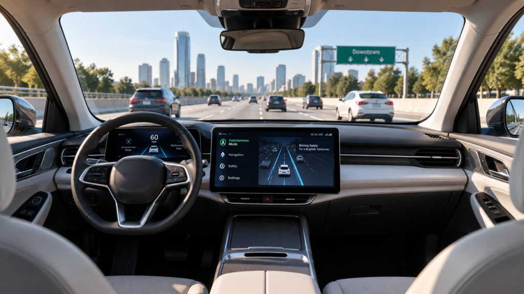
Consider everything happening during one ordinary driving situation.
A camera observes the road. Radar detects nearby objects. Lidar, where used, measures three-dimensional structure. GNSS provides positioning information, while inertial sensors measure vehicle motion.
The computer combines these measurements. The perception system identifies objects. Localization determines where the vehicle is. Prediction estimates what other road users may do. Planning generates possible trajectories.
The system selects a suitable trajectory.
The control system converts that trajectory into steering, braking, and acceleration commands.
The vehicle moves. The sensors observe the new situation.
The process starts again.
This loop repeats continuously.
Autonomous driving is a continuous feedback loop in which the vehicle senses, decides, acts, measures, and adjusts.
What Happens When the Vehicle Brakes?
Imagine a pedestrian approaching the road.
The perception system detects the pedestrian. Prediction estimates that the person may enter the vehicle’s path. Planning evaluates possible actions.
If reducing speed is the safest response, the control system applies braking.
The vehicle slows.
Sensors continue monitoring the pedestrian and the surrounding traffic.
From outside, it may look as though the car simply decided to brake. Inside the system, a chain of sensing, interpretation, prediction, planning, and control produced that action.
The Central Idea Behind Driverless Vehicles
A human sees a car. A human sees a pedestrian. A human understands a traffic light. A human predicts that another vehicle may turn. A human decides to slow down.
A driverless vehicle has to reproduce these functions through sensors and computation.
The camera does not see the world like a human. Lidar does not see the world like a human. Radar does not see the world like a human.
Each produces measurements. Software combines those measurements into an internal model.
The model supports decisions. The decisions control the vehicle.
That is the central idea behind autonomous driving.
The process can be reduced to five words:
Sense.
Understand.
Predict.
Plan.
Act.
Then repeat.
A driverless vehicle is more than a car with cameras attached. It is a mobile robotic system that combines perception, computation, artificial intelligence, localization, planning, control, and mechanical engineering.
Related Reading
Key Takeaways
- Driverless vehicles use multiple sensors to understand their surroundings.
- Cameras, lidar, radar, ultrasonic sensors, GNSS, and inertial sensors provide complementary information.
- Sensor fusion combines these measurements into a more complete view of the environment.
- AI and computer vision help identify objects and interpret road situations.
- Prediction systems estimate what other road users may do next.
- Planning selects a safe trajectory, while control converts it into steering, braking, and acceleration.
- Autonomous driving depends on continuous sensing, decision-making, action, and correction.
- Testing, redundancy, safety monitoring, and defined operating conditions remain essential.
- Connectivity can add information, but it does not replace direct environmental perception.
Conclusion
A driverless vehicle may look like an ordinary car from the outside. It still has wheels, brakes, steering, and a powertrain. What makes it different is the complex system working behind those familiar components.
Cameras collect visual information. Lidar, where used, measures three-dimensional structure. Radar detects objects and relative motion. Positioning systems estimate location, while inertial sensors measure movement.
Computers combine these measurements into a representation of the surrounding world. AI and computer vision help interpret complex scenes. Prediction systems estimate what other road users may do, while planning systems choose a suitable trajectory.
Control systems then turn that trajectory into steering, braking, and acceleration. Safety systems continuously monitor the vehicle and its components.
A human driver performs many of these tasks naturally. An autonomous vehicle has to perform them through engineering.
That is the central challenge of autonomous driving. The vehicle must sense a changing physical world, understand what is happening, account for uncertainty, predict possible outcomes, plan an appropriate response, and execute that response safely.
Sense. Understand. Predict. Plan. Act. Repeat.
That is how driverless vehicles work.
Explore more evidence-based explanations of technology and how modern systems work in CAVELYRA’s Science Explained collection.